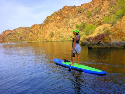
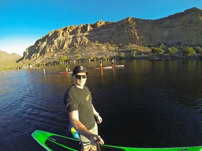
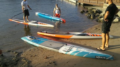
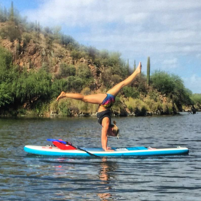
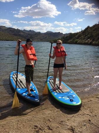
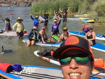
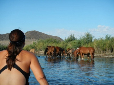
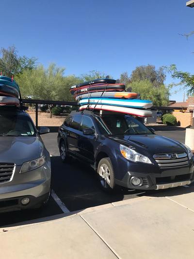
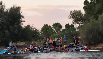
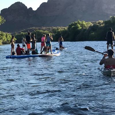
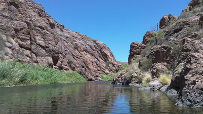
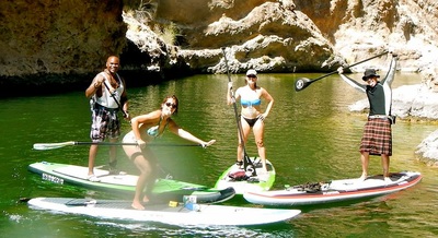
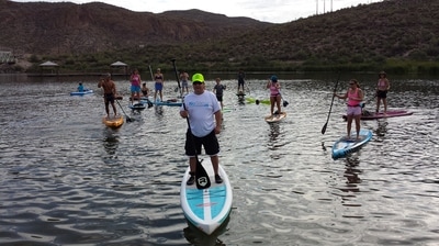
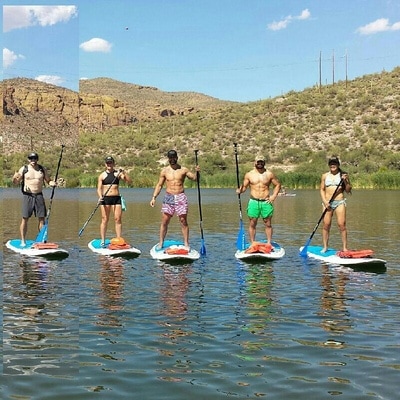
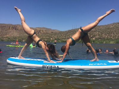
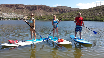
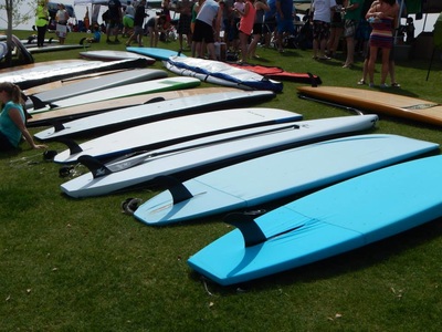
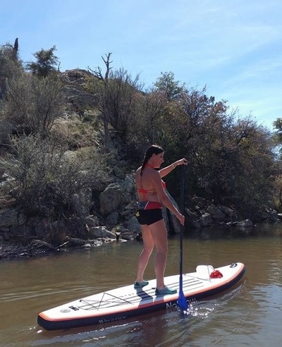
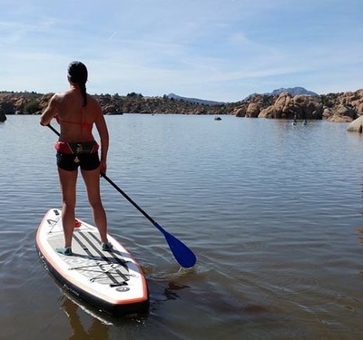
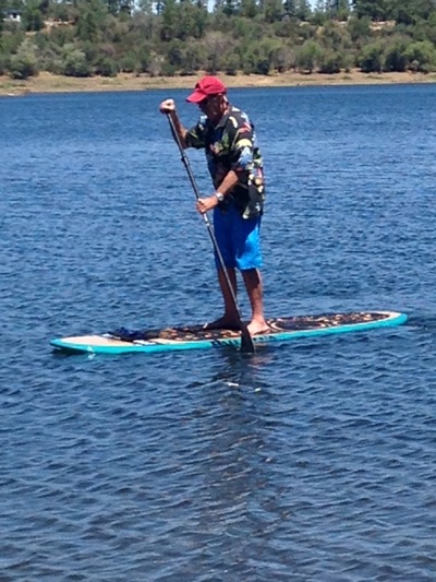
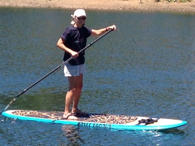
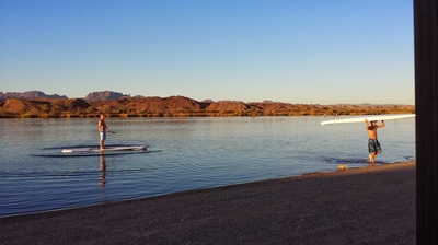
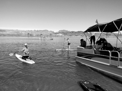
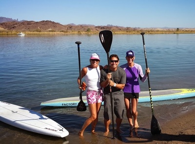
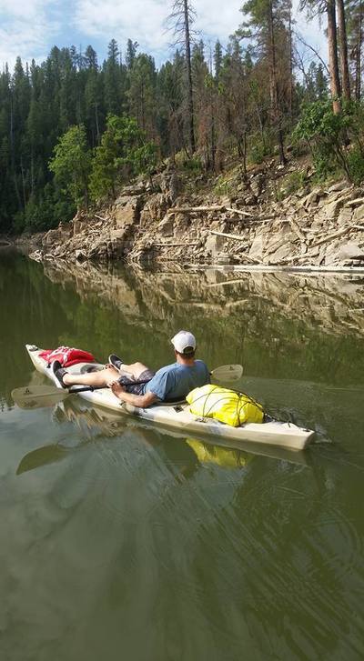
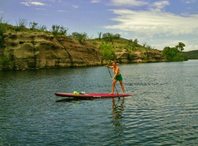
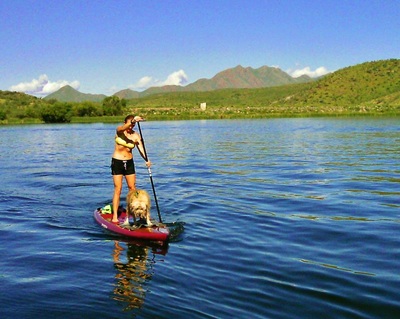
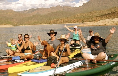
Here are a few of our recommended places to Paddleboard around the Phoenix Valley as well as the State of Arizona. Please do your research first about weather, water levels, access, permits, etc before you go!
Have a recommendation? Send me the info! nosnowsup@gmail.com
Have a recommendation? Send me the info! nosnowsup@gmail.com
Saguaro Lake (12 miles/20 minutes from NoSnow)
Saguaro Lake is the fourth reservoir on the Salt River formed by the Stewart Mountain Dam in the U.S. state of Arizona. The lake is off State Route 87, about halfway between Phoenix, Arizona and the ghost town, Sunflower. The dammed end of the lake is at 33.5656°N 111.5361°W, at an elevation of 1,506 feet (459 m). This lake is also part of the Tonto National Forest, as such the facilities located here are managed by that authority. Tonto Parking Pass Required
Saguaro Lake is the fourth reservoir on the Salt River formed by the Stewart Mountain Dam in the U.S. state of Arizona. The lake is off State Route 87, about halfway between Phoenix, Arizona and the ghost town, Sunflower. The dammed end of the lake is at 33.5656°N 111.5361°W, at an elevation of 1,506 feet (459 m). This lake is also part of the Tonto National Forest, as such the facilities located here are managed by that authority. Tonto Parking Pass Required
Granite Reef, Lower Salt River [Accessible ~ May-September] (2 miles/5 minutes from NoSnow)
The Granite Reef Diversion Dam is a concrete diversion dam located 22 miles (35 km) Northeast of Phoenix, Arizona, on the Salt River. The dam is 1,000 feet (300 m) long, 29 feet (8.8 m) high and was built between 1906 and 1908 for the Salt River Project, who currently operates the dam. It replaced the older Arizona Dam which was washed out in a flood in 1905.Coordinates: 33°30′58″N 111°41′28″W
The dam diverts most all water in the Salt River into the Arizona and South Canals serving the metro Phoenix area with irrigation and drinking water. The Salt River below Granite Reef is usually dry except following consistent and heavy upstream precipitation. When upstream lakes are full, minor and moderate releases are accomplished via floodgates at either end of the dam. The dam is designed to be overtopped by major releases, which can occur every 10 to 40 years.
Tonto Parking Pass Required
Canyon Lake (23 miles/30 minutes from NoSnow)
Canyon Lake is one of four reservoirs that were formed by the damming of the Salt River in the U.S. state of Arizona.
The lake was formed by the Mormon Flat Dam, which was completed in 1925 after two years of construction. Canyon Lake, with a surface area of 950 acres (380 ha), is the third and smallest of four lakes created along theSalt River. Two others, Apache Lake and Roosevelt Lake are upstream. The fourth, Saguaro Lake, is downstream.
Canyon Lake lies approximately 15 miles (24 km) up the Apache Trail from Apache Junction, Arizona and 51 miles (82 km) east of Phoenix. It is within the Superstition Wilderness of Tonto National Forest and is a popular recreation area for the Phoenix metropolitan area. Recreation amenities include hiking trails, camping, and boating, all managed by the United States Forest Service. Canyon Lake is a popular stop along the Apache Trailroute from Apache Junction, Arizona, passing Tortilla Flat, Arizona, before reaching Apache Lake and Roosevelt Lake behind Theodore Roosevelt Dam.
Tonto Parking Pass Required
Apache Lake (42 miles/75 minutes from NoSnow)
Apache Lake is one of four artificial reservoirs created along the Salt River in central Arizona as part of the Salt River Project. The lake is located near the Apache Trail about 65 miles (104 km) northeast of Phoenix. Apache Lake was formed by Horse Mesa Dam which was completed in 1927. The second largest of the four Salt River Project reservoirs (Theodore Roosevelt Lake is the largest), Apache Lake is located about 5 miles (8 km) downstream from Theodore Roosevelt Lake and upstream from Canyon Lake and Saguaro Lake.
The surface area of the lake is 2,568 acres (1,039 ha) at full capacity and it can store 254,138 acre·ft (313,475,000 m3) of water.
Apache Lake is a popular recreation destination within the Tonto National Forest, which is the authority that manages the facilities located at the lake. The lake is located along the Apache Trail and a number of other hiking trails can be found in the area. Many species of fish can be found in the lake, including largemouth, smallmouth and yellow bass, crappie, sunfish, both channel and flathead catfish, walleye and carp.
Roosevelt Lake (85 miles/90mins from NoSnow)
Theodore Roosevelt Lake (usually called Roosevelt Lake, sometimes Lake Roosevelt) is a large reservoir formed by Theodore Roosevelt Dam on the Salt River in Arizona as part of the Salt River Project (SRP). Located roughly 80 miles (130 km) northeast of Phoenix in the Salt River Valley, Theodore Roosevelt is the largest lake or reservoir located entirely within the state of Arizona (Lake Mead and Lake Powell are larger but both are located partially within the neighboring states of Nevada and Utah respectively). Both the reservoir and the masonry dam that created it, Roosevelt Dam, were named for U.S. President Theodore Roosevelt who dedicated the dam himself in March 1911. Roosevelt Lake is a popular recreation destination within the Tonto National Forest, as such the facilities located at this lake are managed by that authority.
Tempe Town Lake (18 miles/23 minutes from NoSnow)
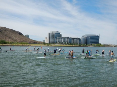
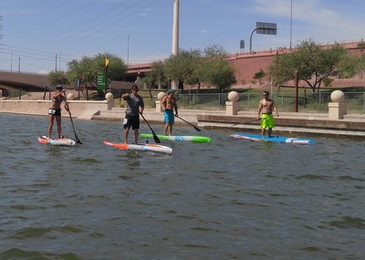
Tempe Town Lake is a reservoir that occupies a portion of the currently dry riverbed of the Salt River as it passes through the city of Tempe, Arizona just north of Tempe Butte.
On July 20, 2010, a portion of the west side of the dam that contained the water in the lake collapsed sending a flood of water into the Salt River bed which drained the lake.
On July 20, 2010, a portion of the west side of the dam that contained the water in the lake collapsed sending a flood of water into the Salt River bed which drained the lake.
Watson Lake in Prescott (129 miles/2 hours from NoSnow)
Four miles north of downtown at 3101 Watson Lake Rd, this beautiful park allows access to Watson Lake and the boulders of the Granite Dells. http://www.prescottoutdoors.com/
Lynx Lake near Prescott (120 miles/2 hours from NoSnow)
Lynx Lake, Arizona, is a 55-acre reservoir located within Prescott National Forest, approximately 5 miles east of Prescott, Arizona, in the Bradshaw Mountains. The lake is located at 5,530 feet elevation and is stocked for fishing
Lake Mary near Flagstaff (178 miles/2.75 hours from NoSnow)
Lake Mary may refer to one of two reservoirs in northern Arizona, southeast of Flagstaff. The name may also be used to refer to the two lakes as a whole. The pair of lakes impound the intermittent Walnut Creek upstream from Walnut Canyon.
Upper Lake Mary is the largest of Flagstaff’s twin lakes. It is also the one farthest from town. This long, narrow impoundment is especially popular with power boaters and water skiers because there is no motor size limit on it. But it’s also popular with those who prefer people power or windpower over horsepower. For that reason, you’re liable to see everything from jet boats to rubber rafts, canoes and sailboats all sharing this same body of water.
Upper Lake Mary is the largest of Flagstaff’s twin lakes. It is also the one farthest from town. This long, narrow impoundment is especially popular with power boaters and water skiers because there is no motor size limit on it. But it’s also popular with those who prefer people power or windpower over horsepower. For that reason, you’re liable to see everything from jet boats to rubber rafts, canoes and sailboats all sharing this same body of water.
Colorado River near Parker, south of Lake Havasu (180 miles/3 hours from NoSnow)
Moovalya Lake south of the Parker Dam on the Colorado River, on the border, there is a beautiful 10 mile section of the Colorado River to paddle along that ends in Parker, AZ. You can drop in at the Bluewater Casino and paddle all over the area.
Woods Canyon Lake near Payson (102 miles/2 hours from NoSnow
Woods Canyon Lake is a small lake located in northern Arizona, about 30 mi east of the city of Payson. It is one in a series of small, canyon-bound lakes located on the Mogollon Rim, collectively referred to as the Rim Lakes. Surface elevation: 7,513′ (2,290 m) Area: 55 acres (22 ha) Mean depth: 40′ (12 m)
Blue Ridge Reservoir near Payson (116 miles/3 hours from NoSnow)
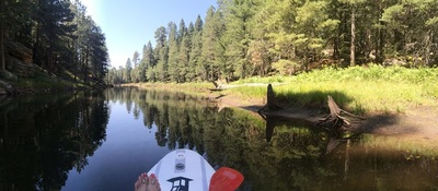
Blue Ridge Reservoir is located in the Mogollon Rim area of the state of Arizona. The closest town Strawberry is 30 miles away. Blue Ridge Reservoir is one of the more scenic reservoirs in the area, with trees going down to the water line.
Patagonia Lake State Park, South of Tucson (200 miles/3.5 hours from NoSnow)
Patagonia Lake State Park is a state park of Arizona, USA, containing Patagonia Lake. The 2.5-mile-long (4.0 km), 250-acre (100 ha) lake located near Patagonia, Arizona, is a popular southern Arizona site for fishing, camping, boat rental, picnicking, hiking, and birding. Located inside the park is the recently established Sonoita Creek State Natural Area, Arizona’s first major state natural area. Created by the damming of Sonoita Creek, the lake is habitat for bass, crappie, bluegill, and catfish, and is stocked with rainbow trout during the winter. Special events include an annual mariachi festival in March and bird tours and interpretive programs on request. Patagonia Lake State Park is located on State Route 82, 7 miles (11 km) south of Patagonia, Arizona.
Lake Powell (300 miles/4.5 hours from NoSnow)
Lake Powell is a reservoir on the Colorado River, straddling the border between Utah and Arizona (most of it, along with Rainbow Bridge, is in Utah). It is a major vacation spot that around 2 million people visit every year. It is the second largest man-made reservoir, by maximum water capacity, in the United States behind Lake Mead, storing 24,322,000 acre feet (3.0001×10¹⁰ m3) of water when full. Lake Powell was created by the flooding ofGlen Canyon by the Glen Canyon Dam, which also led to the creation of Glen Canyon National Recreation Area, a popular summer destination. The reservoir is named for explorer John Wesley Powell, a one-armedAmerican Civil War veteran who explored the river via three wooden boats in 1869. In 1972, Glen Canyon National Recreation Area was established. It is public land managed by the National Park Service, and available to the public for recreational purposes. It lies in parts of Garfield, Kane, and San Juan counties in southern Utah, and Coconino County in northern Arizona. The northern limits of the lake extend at least as far as the Hite Crossing Bridge. A map centered at the confluence of the Escalante River 37°17′22″N 110°52′20″W with the Colorado River gives a good view of the extent of the lake.
Bartlett Lake (60 miles/90 mins from NoSnow)
Bartlett Lake is a reservoir that was formed by the damming of the Verde River in the U.S. state of Arizona. It is downstream and to the south of Horseshoe Reservoir. Constructed in 1936–39 by the Salt River Project, theBartlett Dam and reservoir were named for Bill Bartlett, a government surveyor. Bartlett Lake was the first reservoir built on the Verde River.[1]
Bartlett Lake, located 48 miles (77 km) from downtown Phoenix and 17 miles (27 km) northeast of Carefree, is a popular recreation area in the Tonto National Forest. After wet winters, the Bartlett Lake area often has fine displays of spring wildflowers.[2] The facilities at Bartlett Lake are managed by the Forest Service.
Bartlett Lake, located 48 miles (77 km) from downtown Phoenix and 17 miles (27 km) northeast of Carefree, is a popular recreation area in the Tonto National Forest. After wet winters, the Bartlett Lake area often has fine displays of spring wildflowers.[2] The facilities at Bartlett Lake are managed by the Forest Service.
Lake Pleasant (63 miles/67 minutes from NoSnow)
Lake Pleasant Regional Park is a large outdoors recreation area straddling the Maricopa and Yavapai county border northwest of Phoenix, Arizona. The park is located within the municipal boundaries of Peoria, Arizona, and serves as a major recreation hub for the northwest Phoenix metropolitan area.
Lake Havasu (220 miles/3.5 hours from NoSnow)
Lake Havasu is a large reservoir behind Parker Dam on the Colorado River, on the border between California and Arizona. Lake Havasu City sits on the lake’s eastern shore. The lake has a capacity of 648,000 acre feet (799,000,000 m3). The concrete arch dam was built by the United States Bureau of Reclamation between 1934 and 1938. The lake’s primary purpose is to store water for pumping into two aqueducts. Prior to the dam construction in 1830 the area was frequented by beaver trappers and home to the Mohave Indians. Spaniards also began to mine the area along the river.
